The Taith Torfaen is an anytime challenge walk devised by members of the group in 1995. The anytime challenge description means that you can tackle it whenever you feel like it. The walk is split into two sections, southern and northern loops both starting and finishing at Pontypool Active Living Centre in Torfaen. Each loop is just over 25 miles long, so the whole walk can be tackled as two separate day walks or, for the bold, as one figure of eight 50 mile walk. Getting back to your car at the halfway point on the 50 miler gives you the chance to refuel and resupply or change your mind depending on how determined you feel or what the weather is like.
The southern loop climbs Mynydd Maen and heads down the ridge towards the ancient hill fort of Twmbarlwm and then crosses to Mynydd Machen. Both of these have magnificent views over the Bristol Channel. The Sirhowy Valley Way is followed for a short distance before descending to the valley and climbing Mynydd Islwyn. The walk concludes with a final climb over the western slopes of Mynnydd Maen and a long descent back into Pontypool.
The northern loop goes through Pontypool park to ascend the ridge at the southern end of the Brecon Beacons National Park to the Folly tower. Then it descends across the eastern slopes of the ridge before ascending the Blorenge, with extensive views over the Black Mountains and Brecon Beacons. The route heads west before climbing the Coity Mountain and heading down the ridge before a final descent to the finish.
The two routes are described in a detailed route description and may also be viewed on an OS map. For the route descriptions and to view the routes, select the appropriate links below (use either the controls in the top left corner of the map to pan and zoom or drag the map using the left mouse button to pan and the mouse wheel to zoom at the mouse cursor; use the browser back button to return here):
- Southern loop: view on map, route description, 25.6 miles, 5300 feet of ascent (updated 12 February 2014).
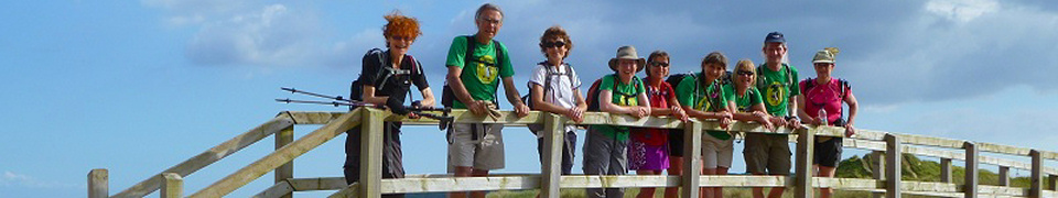
- Northern loop: view on map, route description, photographs, 26.6 miles, 6000 feet of ascent (updated 8 May 2009).
For those of you with a GPS systems, GPX files of both routes are provided in this zipped file (use WinZip, 7-Zip or similar to decompress the file).
It is essential that you take maps in case you stray off course, those covering the routes are:
- Landranger 1:50000 numbers 161 (N & S loops) and 171 (S loop)
- Explorer 1:25000 numbers 152 (N & S loops) and OL13 (N loop only)
A compass is strongly advised in case of poor visibility, make sure you know how to use it.
The route descriptions also use a number of abbreviations:
| R Right | L Left | TR Turn Right | TL Turn Left |
| RH Right hand | LH Left Hand | BR Bear Right | BL Bear Left |
| GR Grid Reference | yds yards | Compass bearings in degrees e.g. 123o | |
If you do either or both the routes, please let us know via email how you got on, the route you did, how long it took, any errors or ambiguities in the route description, and any comments you care to make, good or bad.
Warning and Disclaimer
Walking either of these routes is a strenuous undertaking, you must be fit, healthy and used to walking these distances. Remember that the hills can be dangerous, and that weather can change dramatically for the worse during the course of a day. The route climbs to over 1800 feet for long periods and crosses some very rough terrain in places. Please go well equipped for bad weather with adequate clothing and wear suitable footwear. Carry waterproofs, maps, compass, food supplies and drink. While every effort has been made to ensure the route goes over rights of way and public footpaths we accept no responsibility for incorrect maps, changes to footpaths or any sort of accident. You do the walks at your own risk.
Good luck, we look forward to hearing from you.